
The New York City homes where 11 people drowned during Hurricane Ida last month are located in areas designated on federal flood maps as having low inundation risk, a senior member of Congress said yesterday.
The disclosure by House Oversight and Reform Chair Carolyn Maloney (D-N.Y.) illustrates the shortcomings of the nation’s flood maps as Congress debates a historic spending provision for the Federal Emergency Management Agency’s mapping program.
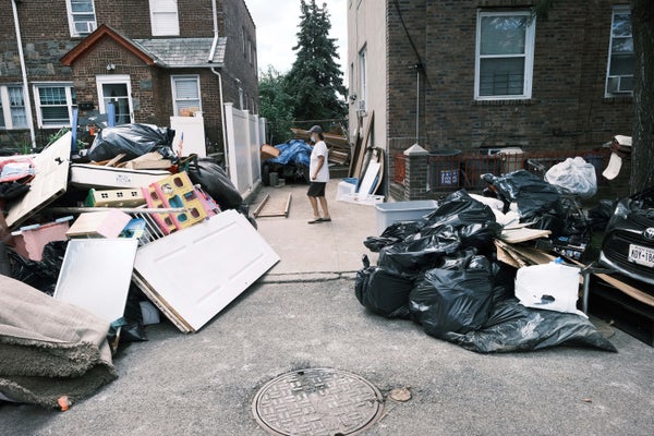
Hurricane Ida killed 13 New York City residents, including 11 who drowned in residential basements when record rainfall overwhelmed the city’s sewer system and caused widespread flooding.
On supporting science journalism
If you're enjoying this article, consider supporting our award-winning journalism by subscribing. By purchasing a subscription you are helping to ensure the future of impactful stories about the discoveries and ideas shaping our world today.
Maloney told FEMA Administrator Deanne Criswell during an Oversight Committee hearing yesterday that she had checked the addresses of those homes on FEMA’s interactive flood maps.
“I was surprised to find that all of them are located in areas marked as having minimal flood hazard,” Maloney said.
Criswell acknowledged Maloney’s point and said FEMA’s flood maps show areas that face a high risk of flooding from coastal inundation or river overflow, but not areas facing the type of flooding caused by Ida in New York City and other urban areas.
“They do not take into account the storm sewer systems,” Criswell told Maloney.
The homes where 11 people died are in central Queens, several miles from the borough’s flood-prone neighborhoods that are bordered by the Atlantic Ocean on one side and bays and inlets on the other. The victims included a 2-year-old boy and an 86-year-old woman.
Although New York City has experienced widespread flooding, only city neighborhoods that are adjacent to water are in FEMA special flood hazard areas, which are supposed to have a 1 percent annual chance of flooding.
Many communities use FEMA flood maps to guide development and prevent or limit building in flood-prone areas. FEMA uses the maps to determine which property owners are subject to a federal requirement to have flood insurance.
Maloney, who represents part of New York City, said she was concerned that local emergency personnel “sometimes use FEMA maps to determine which residences should be evacuated and what areas to prioritize after a flood.”
Criswell said the flooding in New York City caused by Ida is “a sign that our infrastructure has an opportunity to be upgraded and mitigated again so we can prevent future flash flooding urban events like this.”
Urban flooding has generated increasing concern among flood experts, who say it disproportionately affects people of color and low-income communities.
FEMA has acknowledged problems with its flood maps. It’s pointed to outdated maps and those that fail to include wide swaths of the United States where flood risk is considered low.
The Senate-passed infrastructure bill would give FEMA $3 billion for flood mapping—twice as much money as Congress has allocated in the past seven years.
Criswell urged Congress to pass the bill, which also includes $3.5 billion for a FEMA grant program to protect communities against flood damage.
“I would like to add my voice today in calling for its swift passage,” Criswell told the Oversight Committee during the virtual hearing.
Reprinted from E&E News with permission from POLITICO, LLC. Copyright 2021. E&E News provides essential news for energy and environment professionals.
