
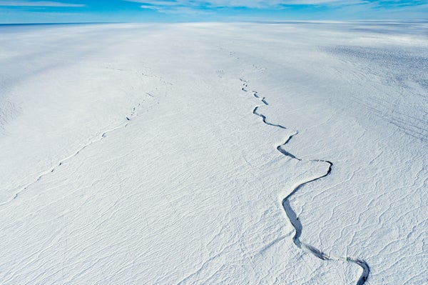
Scientists have been trying for decades to uncover the true geology of Greenland, an island one-third the size of Australia and almost entirely concealed under mile-deep ice sheets. For a recent study in Geophysical Research Letters, scientists constructed a new map that suggests geological details and dramatic terrain hidden underneath the ice.
A lot of people think of Greenland’s landmass as being “a big, rigid plate that moves all the same,” says study co-author William Colgan, a glaciologist at the Geological Survey of Denmark and Greenland. But it may not be uniform—and understanding how individual geological features might shift and twist below the ice can help improve GPS accuracy for scientific studies and mineral exploration. Mapping Greenland’s true geology can also help predict ice-sheet stability because young volcanic bedrock transfers more geothermal heat to ice sheets than older rocks do.
Researchers drew today’s widely accepted geological map of Greenland in 2009, largely based on exposed rock along the island’s coasts. That approach might work for a smaller, narrower landmass—but not in northern Greenland, where the coasts are more than 500 miles apart and could have dramatic geological variation in between. “If you took North America, put an enormous ice sheet on top of it, and were handed the geology of New York, Maryland or California and asked to [determine] the geology of Nebraska, you would have a hard time making an accurate guess,” says Pennsylvania State University geoscientist Sridhar Anandakrishnan.
On supporting science journalism
If you're enjoying this article, consider supporting our award-winning journalism by subscribing. By purchasing a subscription you are helping to ensure the future of impactful stories about the discoveries and ideas shaping our world today.
Since 2009 a burst of new satellites, radar systems and seismic stations has prompted steady growth in datasets available for geological mapping, the researchers say. For their new Greenland map, Colgan and his team processed the available data on changes in gravity, magnetism, crust thickness, bedrock terrain, seismic-wave transmission and ice-surface features across the landmass. Experts analyzed each collection of measurements and noted boundaries between areas with significant variation.
The overlap of these boundaries suggests that Greenland’s ice conceals three previously unidentified geological regions, or “provinces,” each with distinctive characteristics. One, for instance, seems volcanic in origin and relatively young. Another has rough terrain that could come from extensive hills and valleys. The researchers also spotted thousands of ice-surface features that most likely indicate subglacial valleys, many of them hundreds of miles long and running parallel to one another. And they noticed that ice streams flow faster at the boundaries between some geological regions, suggesting the streams erode those regions in distinct ways.
Measurements along some boundary lines were left to the experts’ best guesses. But survey data keep coming in, and Colgan is optimistic: next time his team works on this type of map, he hopes to have larger datasets and better artificial-intelligence analytical tools.